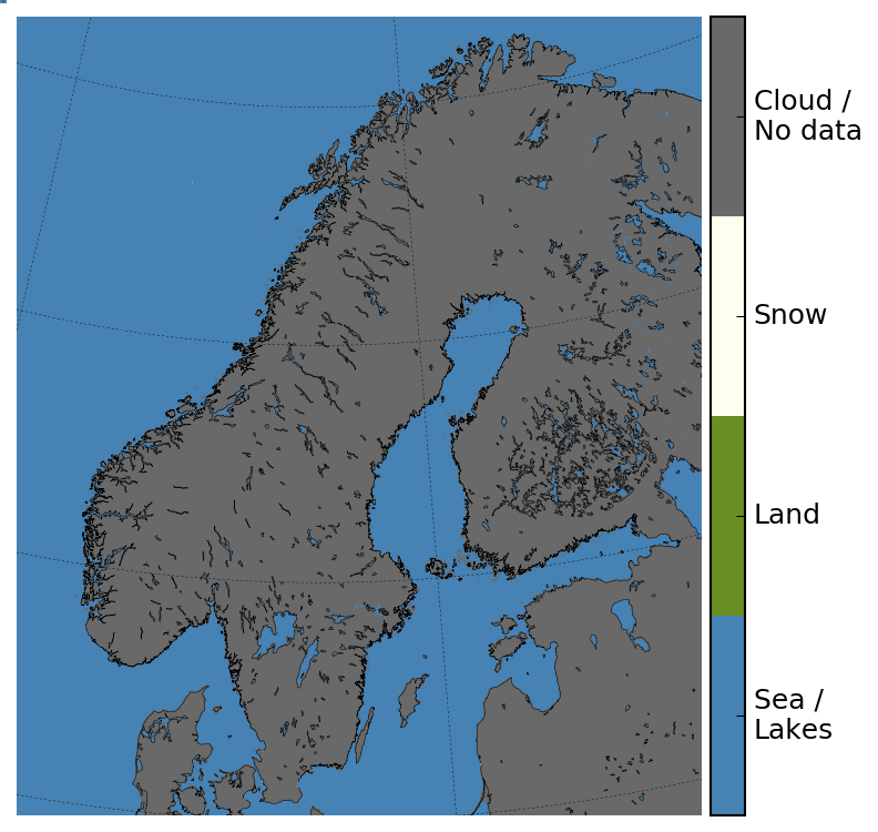
The snow cover maps are made from satellite measurements of reflected sunlight. Due to low hanging sun and polar night these data are not available during parts of the winter. The snow cover maps will reappear on cryo.met.no from early February 2020.
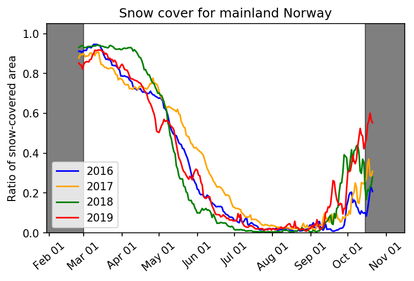
The figure below shows the ratio of snow-covered area for mainland Norway since 2016, and is derived from the satellite based snow cover maps. Already in September, the current winter (2019 / 2020) started out with a larger snow-covered area than previous years. From February 2020 - after the return of sunlight for all of mainland Norway - this figure will be updated daily.