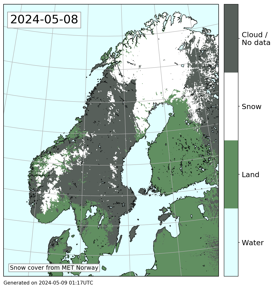
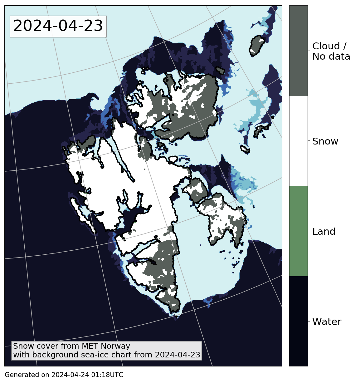
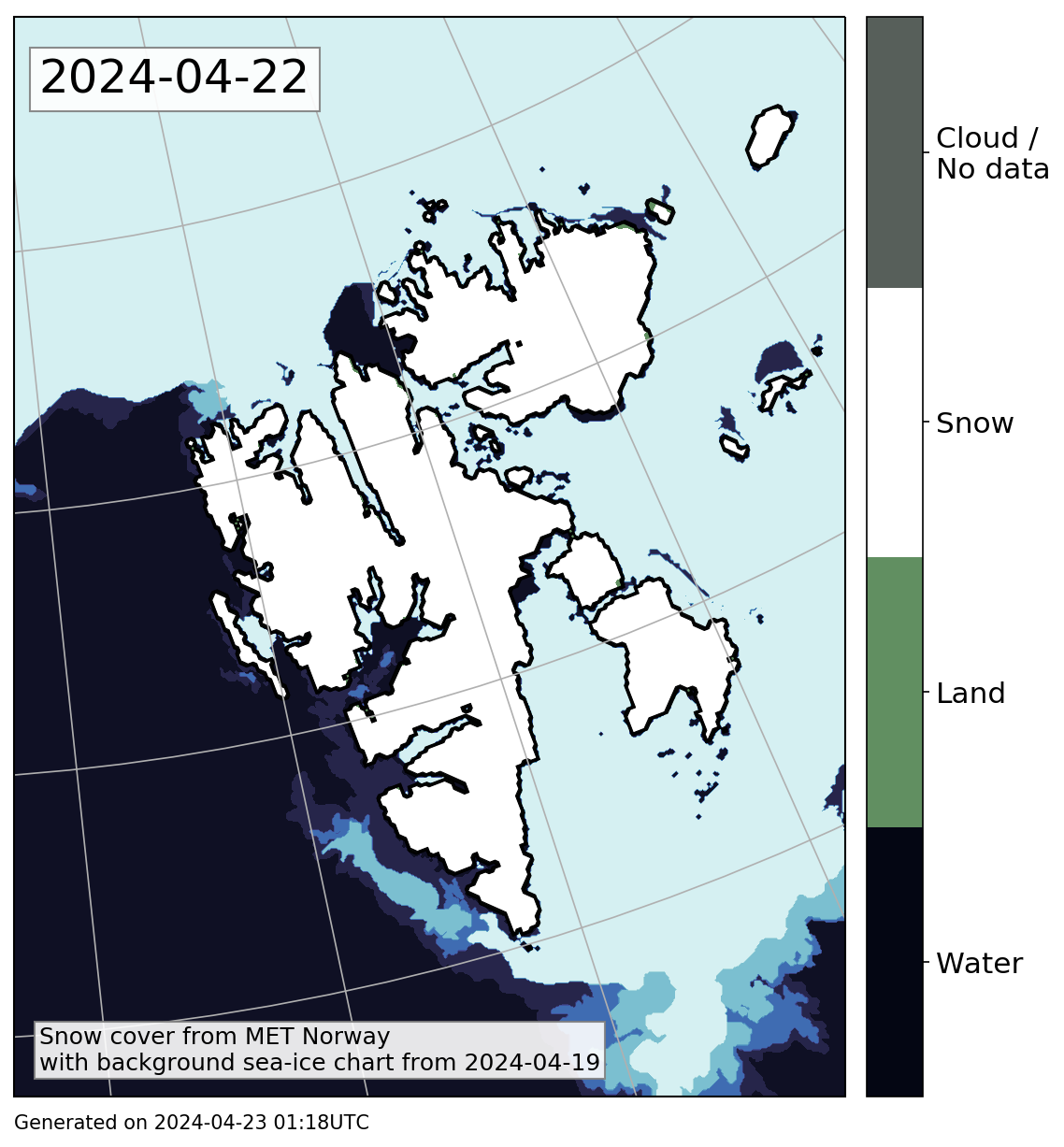
| Latest snow cover map | Latest weekly cloud-free mosaic |
|---|---|
| Mainland Norway | |
 |

|
| Svalbard | |
|
|
These snow cover maps are based on data from multiple satellite swaths. The maps to the left are based on satellite swaths from one day, given by the date in the corner of the image. Grey areas show regions that are cloud-covered for all satellite swaths for this day. The maps to the right use satellite swaths from up to 1 week. Areas that are clouded for the given date are filled in using the most recent available cloud-free observation.
Note that the maps for Mainland Norway contain land information only. Some water areas will typically be covered by sea ice / lake ice for parts of the year without this showing in these maps.
Background
It is not always straight forward to separate cloud and snow in a satellite image. Cloud and snow reflect sunlight fairly equally at visible wave lengths, and can therefore appear very similar (see example below, left image labeled "RGB124"). We exploit that cloud and snow reflect differently at larger wavelengths (middle image labeled "RGB264"). Here, snow and cloud are easier to seperate as snow takes on a pink color, while clouds appear mostly in white/blue. The right panel shows the corresponding satellite product for this satellite swath. Red color indicates snow covered areas, while blue indicates areas that mostly likely are snow free.
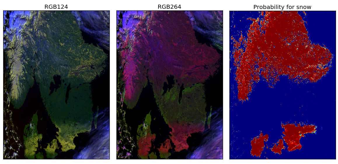
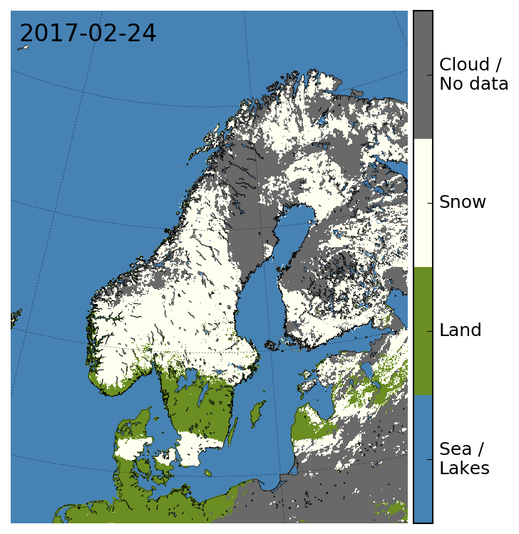
The example above is a section of a MetOp-1 swath from February 24th 2017, 08:45 UTC.
Several of these swath products are combined into daily snow cover maps. The image below shows a snow cover map from the same day as the example above. Here, white shows snow, green corresponds to snow free, and blue shows ocean. The grey areas show cloud cover. If using optical satellite data only we cannot know wheter there is snow or snow free land below the cloud cover.