(click on the image to get a larger view)
Today Yesterday |
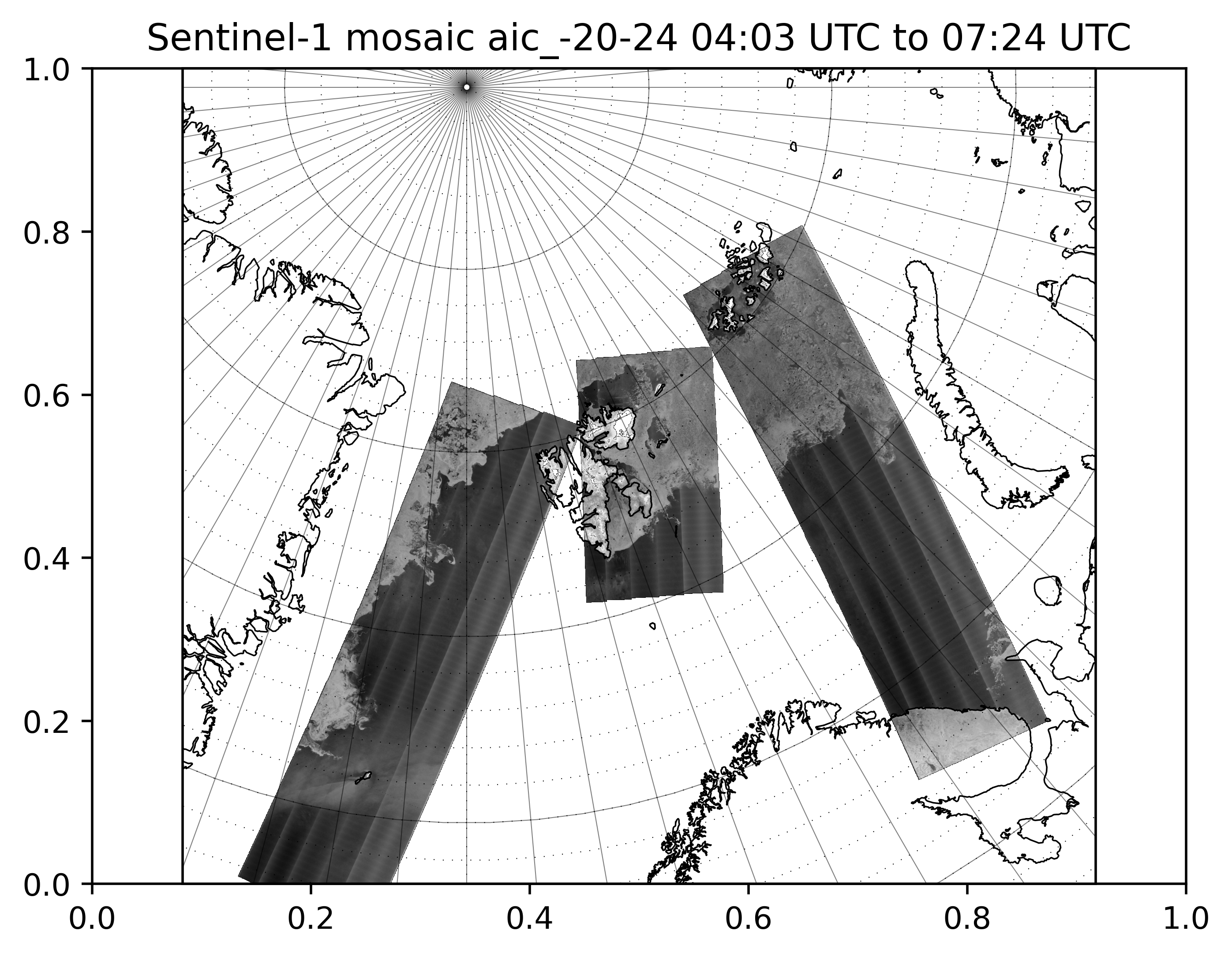
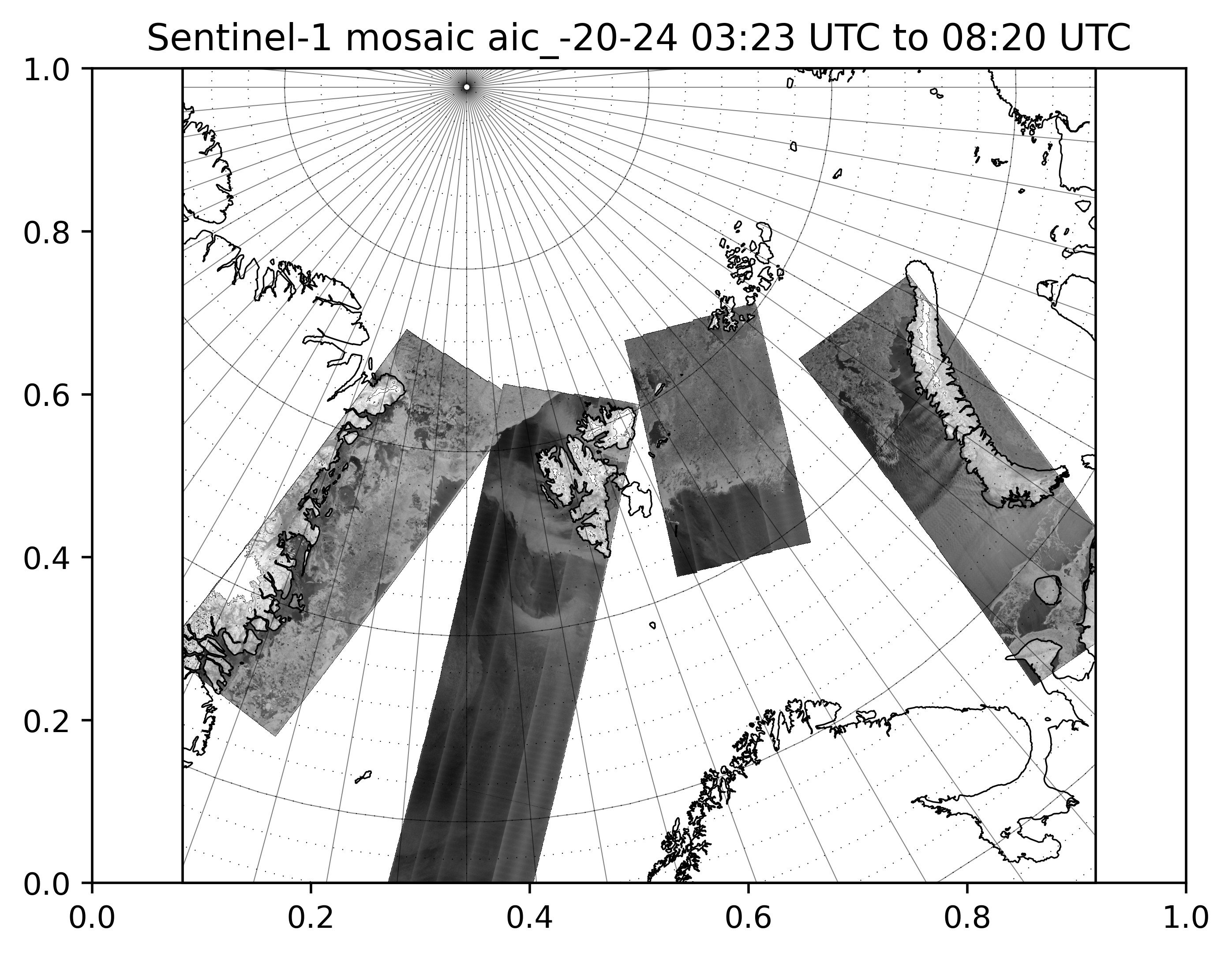
Due to the cloud cover prevalent in the Polar Regions, and winter darkness, the primary type of satellite sensor used for sea ice charting is Synthetic Aperture Radar (SAR) as this can acquire data on the Earth's surface conditions under all conditions. The Ice Service uses data from a number of missions including the Canadian RADARSAT-2, Italian COSMO SkyMed, and Japanese ALOS-2. However the primary source fo SAR is the European Copernicus Sentinel-1, which consists of 2 satellites (1A and 1B). This has 2 main modes of operatiion, Interferometric Wide (IW) at 10 m resolution on a 250 km wide swath, and Extra Wide (EW) at 40 m resolution on a 410 km wide swath. In addition, the sensor can acquire data in a single polarization (HH or VV), or dual polarization (HH+HV or VV+VH), with the additional channels having benefits for distinguishing between water and sea ice. The image shown here are provided by the Research and Development Department at MET Norway and show the HV polarization. The image is updated regularly thoughout the day. For access to Sentinel-1 satellite data please see satellittdata.no, or the main Copernicus Open Access Hub. Geo-referenced, low resolution, quicklooks of both the HH and HV suitable for use in GIS can be downloaded via ftp. In addition to Sentinel-1, the Ice Service also uses data from other satellites, including optical imaging from sensors on the European Copernicus Sentinel-3 (OLCI and SLSTR) and Sentinel-2 satellites, NOAA Suomi NPP VIIRS, and NOAA/EUMETSAT AVHRR. With access to data from multiple satellite missions, the Ice Service is therefore able to maintain continuity of the ice charts in the event of data from a satellite not being available. This page will be updated with additional satellite image sources in the near future. |